Home / Islands / Tonaki Island
Tonaki Island 渡名喜島

| Island group | Tonaki |
|---|---|
| Prefecture | Okinawa |
| Region | Okinawa |
| Municipality | Tonaki |
| Area | 3.58 km² (1.38 mi²) |
| Highest point | 179 m |
| Coordinates | 26.36528° N, 127.14417° E |
Getting there: the article below outlines this island's usual ferry and flight routes. Timetables change with the season and sailings are cancelled in rough weather — always confirm the current schedule with the operator or the municipality before you travel.
Tonaki Island (initiate, Okinawan: and zXQ184X island.) It belongs to Iseshima County Iseshima Village.
Overview
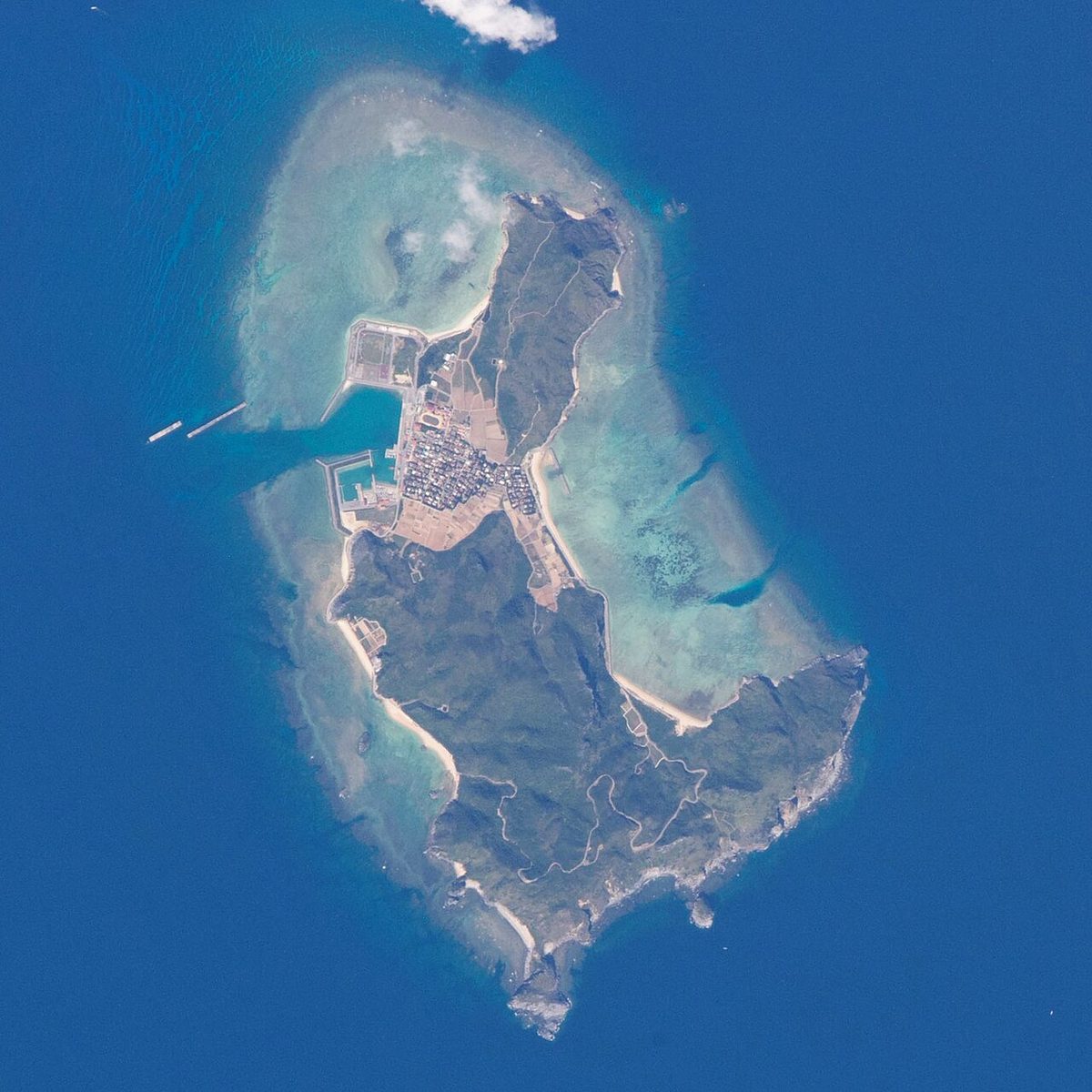
The southern part was separate islands, but over the years sand accumulated and became one of the islands of today. The flat is the flat area where ports and settlements form, and it consists of Iseshima, including the inhabited islands of the deserted islands of the northwest. (from the population statistics of Akishima's 3rd year.)
Traffic
Iseshima Hotel 2 hours and 15 minutes.
Text adapted from the Japanese Wikipedia article 渡名喜島, whose full text was translated into English for this guide by its contributors, licensed CC BY-SA 4.0. Population, area and location facts from Wikidata (CC0); figures Wikidata does not carry are taken from the Japanese Wikipedia article's data table (CC BY-SA 4.0).