Home / Islands / Miyagi Island
Miyagi Island 宮城島
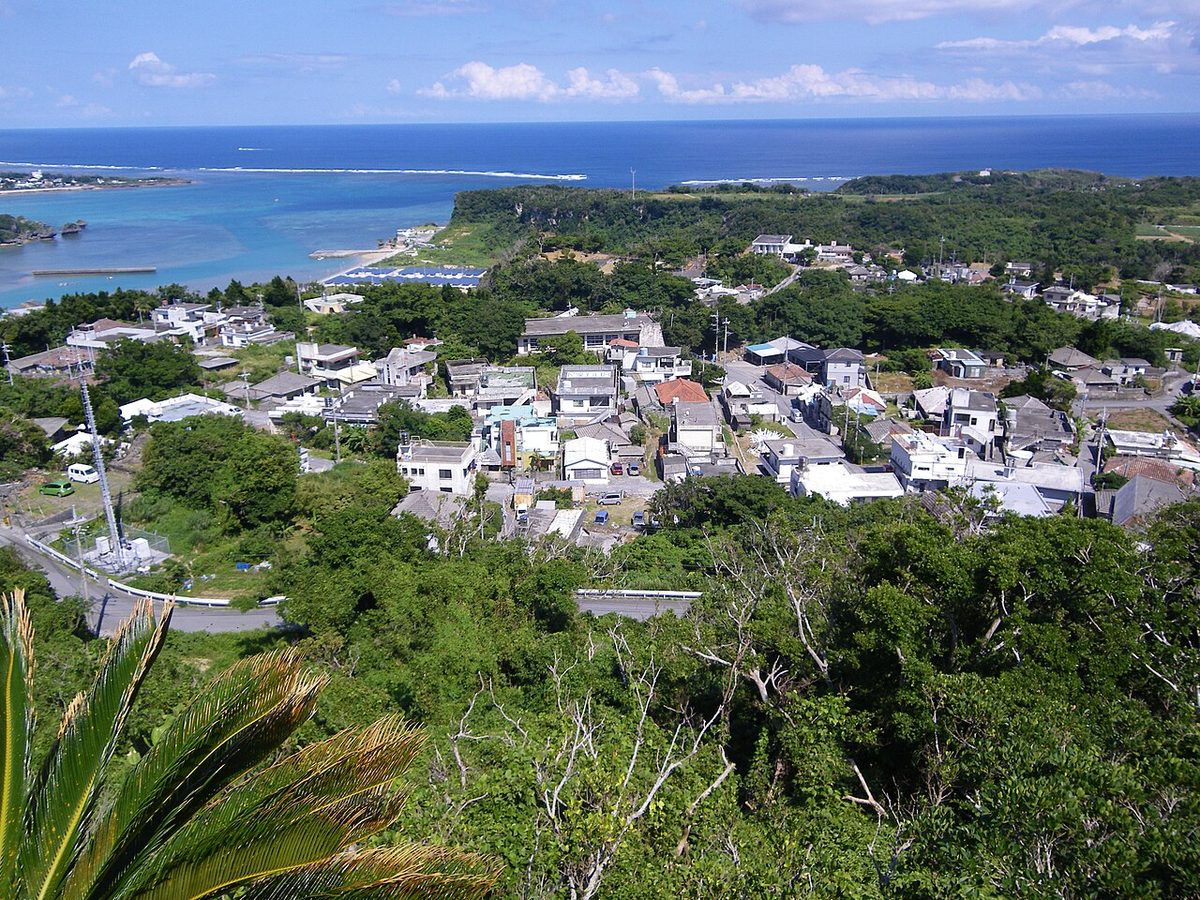

| Island group | Yokatsu Islands |
|---|---|
| Prefecture | Okinawa |
| Region | Okinawa |
| Municipality | Uruma |
| Area | 5.54 km² (2.14 mi²) |
| Highest point | 121 m |
| Coordinates | 26.36833° N, 127.98139° E |
Getting there: the article below outlines this island's usual ferry and flight routes. Timetables change with the season and sailings are cancelled in rough weather — always confirm the current schedule with the operator or the municipality before you travel.
Miyagi Island (宮城島, Okinawan: Naagushiku-jima) is an island located in the Yokatsu Islands of Okinawa Prefecture, Japan. It is also known as Takanaharijima (タカナハリジマ) in the Okinawan language, meaning "a high and distant island". This is a reference to its greater elevation compared to other nearby landmarks.
Miyagi Island is connected to the main Okinawa Island through a bridge that runs across Henza Island, making it accessible by car or bus. There are four villages on the island: Uehara (上原), Miyagi (宮城), Tōbaru (桃原) and Ikemi (池味).
History
Along with the rest of the Yokatsu Islands, Miyagi was under the control of Chūzan during the Sanzan period. In 1429, Chūzan united the Okinawa Islands and formed the Ryukyu Kingdom. Under Ryukyuan rule, Miyagi Island was used as a place of exile for political criminals. In 1879, the Ryukyu Kingdom was annexed by the Japanese Empire, and control of Miyagi Island was transferred to Okinawa Prefecture.
At the end of World War II, Miyagi Island went under the control of the United States Civil Administration of the Ryukyu Islands, lasting from 1950 to 1972. It was returned to Japan following the Okinawa Reversion Agreement.
As evidenced by the ruins of Shigumu and Takamine, humans have inhabited the island since ancient times.
Text adapted from the English Wikipedia article Miyagi Island (Uruma, Okinawa) by its contributors, licensed CC BY-SA 4.0. Population, area and location facts from Wikidata (CC0); figures Wikidata does not carry are taken from the Japanese Wikipedia article's data table (CC BY-SA 4.0).