Iheya Island 伊平屋島
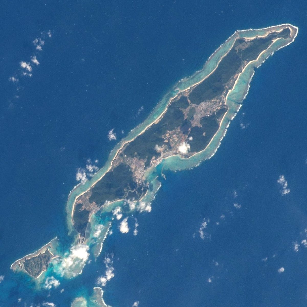

| Island group | Iheya-Izena Islands |
|---|---|
| Prefecture | Okinawa |
| Region | Okinawa |
| Municipality | Iheya |
| Population | 1,200 |
| Area | 20.66 km² (8.0 mi²) |
| Highest point | 294 m |
| Coordinates | 27.0392° N, 127.969° E |
Getting there: the article below outlines this island's usual ferry and flight routes. Timetables change with the season and sailings are cancelled in rough weather — always confirm the current schedule with the operator or the municipality before you travel.
Geography
The island is narrow and narrow, about 41 kilometers north of the headquarters Peninsula, and the highest mountain range is 20.66 km by 206 miles, and the highest mountain range in the world. Yoronjima is about 37 kilometers offshore. The southwest island of Inoshima was connected by a bridge opened in 1979, but the problem was that the sea currents were too low for the waves.
A small island reef
Northse - about two and a half kilometers north of the northeast coast. Yahet - off the north coast. - The island's northeast coast is about 900 meters.
Overview
Village ships, ferrymen and three others, are, in effect, the only means of transportation from the island. There is no immediate route with Izena Island, but an indefinite ship is on the way from Iseshima.
It's the main institution
Ikei Lighthouse. The Kumarya Cave. The tower of the yew. Iseshima Hotel. The World Salt Exploration Museum.
Text adapted from the Japanese Wikipedia article 伊平屋島, whose full text was translated into English for this guide by its contributors, licensed CC BY-SA 4.0. Population, area and location facts from Wikidata (CC0); figures Wikidata does not carry are taken from the Japanese Wikipedia article's data table (CC BY-SA 4.0).