Home / Islands / Ōmishima Island
Ōmishima Island 大三島
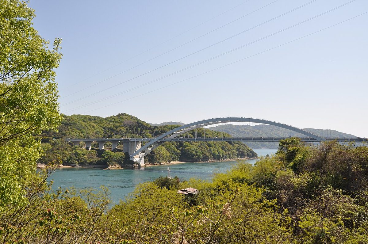

| Island group | Geiyo Islands |
|---|---|
| Prefecture | Ehime |
| Region | Shikoku |
| Municipality | Imabari |
| Population | 4,964 (2020) |
| Area | 64.54 km² (24.9 mi²) |
| Highest point | 437 m |
| Coordinates | 34.245° N, 133.01° E |
Getting there: the article below outlines this island's usual ferry and flight routes. Timetables change with the season and sailings are cancelled in rough weather — always confirm the current schedule with the operator or the municipality before you travel.
Ōmishima Island (大三島, Ōmishima) is the largest island in the Geiyo Islands chain, and the westernmost island on which Japan's Nishiseto Expressway, which links Honshu and Shikoku via a number of islands, runs. It is located in the Seto Inland Sea. The island's highest peak is Washigatozan (鷲ヶ頭山) at an altitude of 437 m (1,434 ft).
Population
The population as of the 2020 census was 4,963 - 2,299 men, and 2,264 women.
Geography
Ōmishima is kidney-shaped and together with Ōsakikamijima on the west encloses the calm bay of Utena, where the primary seaport of Miyaura is located. The island's Utena Dam reservoir is the primary freshwater source for Ōmishima itself and the nearby Hakata.
Nature
Originally, the island had many bald mountains and little vegetation. Most of the forests that exist today have been artificially planted since the Meiji period. It is believed that in prehistoric times, the vegetation was dominated by ubame oak (Quercus phillyraeoides), tobira (Pittosporum tobira), and camphor trees (Camphora officinarum). Even today, old camphor and ubame oak trees remain at the shrine, and the "Camphor trees of Oyamazumi Shrine" in particular are a group of camphor trees in a primeval forest grove and have been designated a national natural monument.
History
- 1541 - Tsuruhime fights Ōuchi Yoshitaka fleet
- 1874 - post office established
- 1979 - Ōmishima bridge connecting to Ehime Prefecture complete
- 1999 - Tatara Bridge connecting to Hiroshima Prefecture complete
- 16 January 2005 - several towns (including Ōmishima, Ehime) and villages on the island were merged into the city of Imabari, Ehime, along with towns and villages on other surrounding islands.
Transportation
Ōmishima is connected to the mainland of Honshu and Shikoku islands by the bridges of the Nishiseto Expressway (Shimanami Kaidō). A ferry is also available from the island to Ōsakikamijima, Okamura Island and Ōkunoshima (Rabbit Island). Ōmishima Island is served by the national Route 317.
Attractions
- The salt factory
- Historical and marine museum
- Ōyamazumi Shrine
- Toyo Ito Museum of Architecture, Imabari
- The entire Ōmishima Island is designated as a National Place of Scenic Beauty
Notable residents
- Shozo Fujita - historian
- Tsuruhime - priestess and warlord
Text adapted from the English Wikipedia article Ōmishima Island by its contributors, licensed CC BY-SA 4.0. Population, area and location facts from Wikidata (CC0); figures Wikidata does not carry are taken from the Japanese Wikipedia article's data table (CC BY-SA 4.0).