Futaoijima 蓋井島
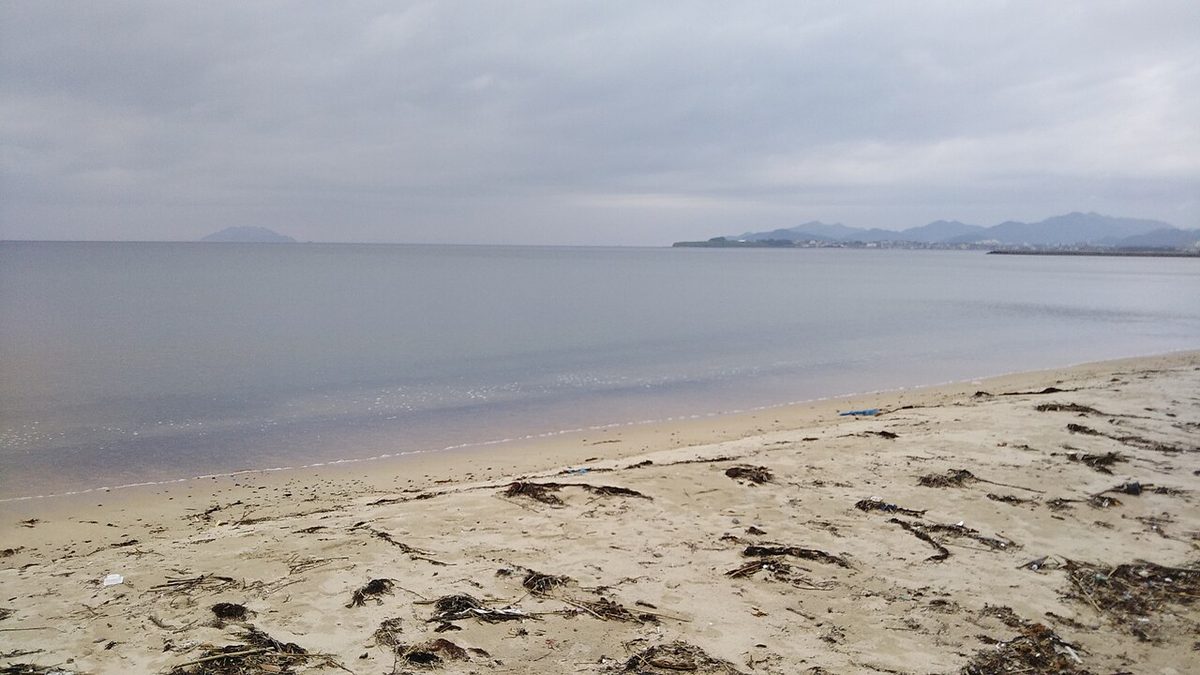

| Island group | Shimonoseki |
|---|---|
| Prefecture | Yamaguchi |
| Region | Chugoku |
| Municipality | Shimonoseki |
| Population | 91 |
| Area | 2.32 km² (0.90 mi²) |
| Highest point | 252 m |
| Coordinates | 34.10417° N, 130.7875° E |
Getting there: the article below outlines this island's usual ferry and flight routes. Timetables change with the season and sailings are cancelled in rough weather — always confirm the current schedule with the operator or the municipality before you travel.
That's why I'm here. The area is 2.35 kilometers. The population is 87. There are special products, such as sauerkraut and dry chicken.
Mountain
(George Oyama). (MEN MORNING MOUNT). I'm sorry, I'm sorry.
School
I'm sorry, I'm sorry. I'm sorry. Downtown Tsunami Ii School.
It's a tourist spot
Iseshima Hotel. Emu ranch. Futaoijima Lighthouse. Iwaguchi. Masashijiji.
The facility
XXQ07XXF health care center. Futaoijima Underwater Processor Processor. XXQ7XXXXXSARA.
Traffic
I'm on a city liner from Yoshi Shoo port, 35 minutes away. November 1st, February, is two days round and round. I'm sorry.
Road
There is no prefecture or national road on the island.
Other
From the beginning of the Shogun to the end of the war, the Futaoijima cannons under the Japanese Army existed on Mayu Mountain in the southern part of the island and in the northern part of the island. It is not easy to visit each other because there are no roads. In November of the year and year of the year, the "Futaoijima" "The God of the Mountain" is selected by a form of civil culture that has to be recorded and done without any national selection, and the forest that is called "the Great God" is designated as "ZFutaoijima" as "The Forest of the Mountain."
Text adapted from the Japanese Wikipedia article 蓋井島, whose full text was translated into English for this guide by its contributors, licensed CC BY-SA 4.0. Population, area and location facts from Wikidata (CC0); figures Wikidata does not carry are taken from the Japanese Wikipedia article's data table (CC BY-SA 4.0).